Park Connector Network · Singapore

Routes along rivers,
reservoirs and green
buffers

Detailed path notes for Singapore's PCN — covering tarmac widths, rest-point spacing, surface conditions, and practical access across the island's 300+ km network.

Updated 30 Apr 2026  ·  3 route guides  ·  Singapore

Kallang River at Bishan-Ang Mo Kio Park, one of Singapore's main PCN corridors
300+
km of PCN paths
across Singapore
16
distinct connector
loops and corridors
4
reservoir park
connections
3
route types: running,
cycling, inline skating

Featured paths

Each guide covers distance, terrain, key landmarks, water points, and notes on shared-path etiquette specific to that corridor.

Kallang River path at Bishan Park
Running · 12.4 km

Running the Kallang River PCN Loop

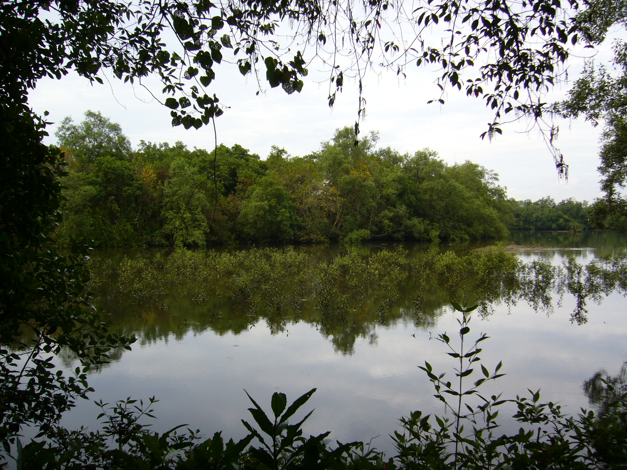
The Kallang River corridor from Bishan-Ang Mo Kio Park to Kallang Basin covers 12.4 km of mostly uninterrupted tarmac, with long riverside stretches, consistent shade cover, and water points roughly every 2 km. A reliable choice for tempo runs and long easy efforts.

Distance: 12.4 km  ·  Surface: Tarmac  ·  Elevation gain: ~18 m
Bishan-Ang Mo Kio Park cycling path
Cycling · 28 km

Cycling the Western Expressway PCN Corridor

The Western Expressway PCN links Jurong Lake District to Clementi and onward to the Southern Ridges connector, totalling around 28 km one way. The path runs parallel to the AYE for much of its length before threading through green buffer zones near Buona Vista and Queenstown.

Distance: 28 km  ·  Surface: Tarmac / Concrete  ·  Best direction: East–West
MacRitchie Reservoir park connector trail
Running / Cycling · 34 km loop

Reservoir Routes: MacRitchie to Bedok

Three central reservoirs — MacRitchie, Peirce, and Bedok — are linked by PCN connectors that can be combined into a 34 km loop. Each reservoir perimeter has its own character: MacRitchie is tree-canopied and uneven, Peirce is quieter and narrower, and Bedok is a wide flat loop popular with cyclists.

Distance: 34 km loop  ·  Surfaces vary  ·  Multiple entry points

What is the PCN?

The Park Connector Network is a system of linear green corridors managed by NParks that links Singapore's major parks, nature areas, and housing towns. The paths follow rivers, canals, reservoirs, and green buffer strips, giving residents car-free access across the island.

Most connectors are 3–5 metres wide, shared between pedestrians and cyclists. Inline skating is permitted on all PCN paths. The network has grown from 36 km in 1992 to over 300 km today, with ongoing extensions into new residential areas.

This archive covers practical route details — including access points, surface conditions, water point locations, and notes on busy periods — drawn from repeated path surveys conducted across 2023–2025.

Sungei Buloh Wetland Reserve, connected by the Northern PCN loop

Sungei Buloh Wetland Reserve — accessible via the Northern Explorer Loop

Send a note

Route corrections, updated conditions, or general enquiries — use the form below or write directly to editor@wensleyfield.com.